UAV Surveys
UAV Surveys
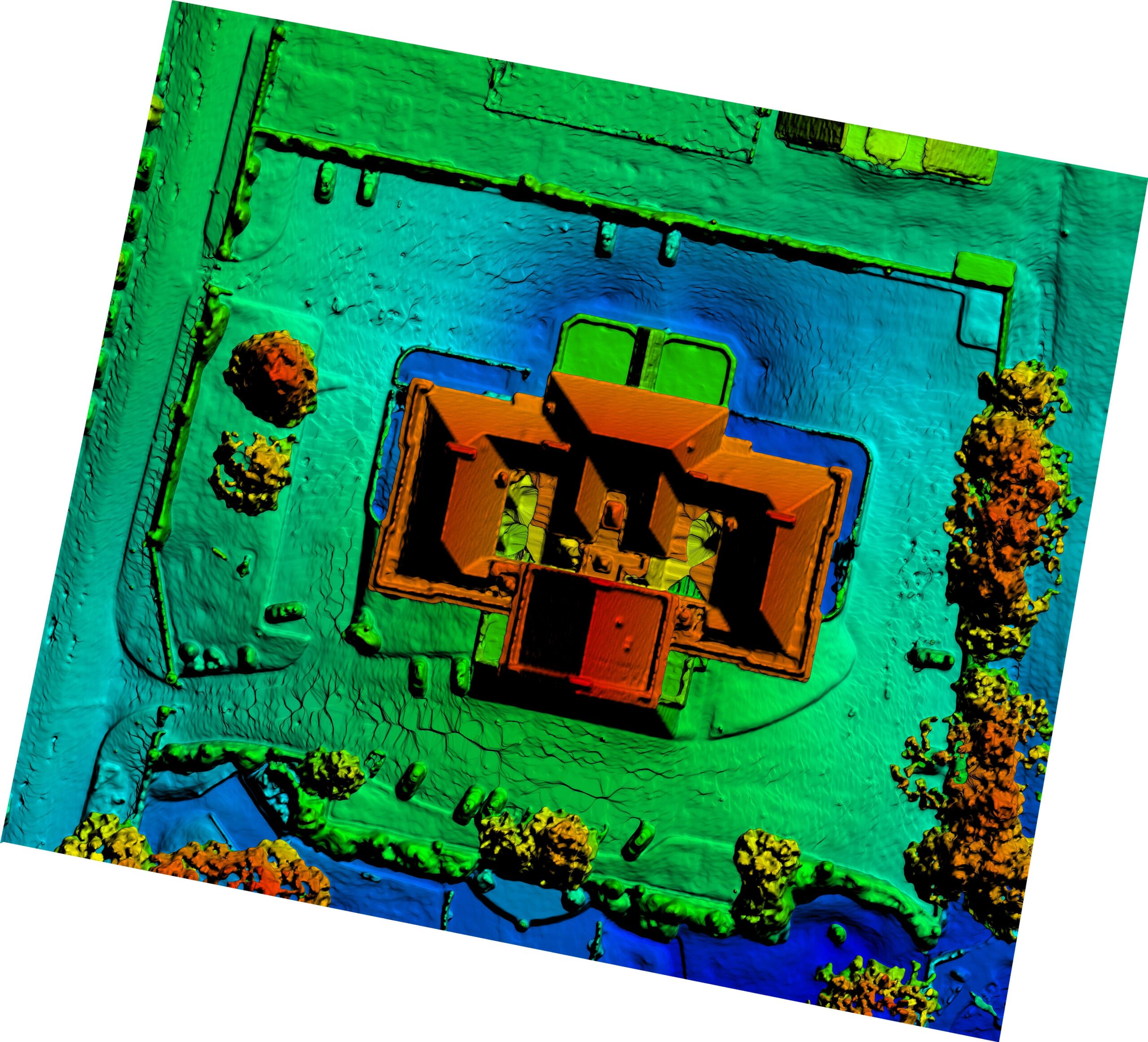
Using Unmanned Aerial Vehicles (UAVs), we deliver fast and accurate surveys for a wide range of industries. Our drone technology captures high-resolution aerial imagery, which we process into detailed orthomosaic maps and background site maps to provide a clear and precise view of any area.
UAV surveys are also ideal for stockpile management, enabling the creation of 3D models and accurate volume calculations while reducing the need for time-consuming and potentially hazardous ground surveys. The result is reliable geospatial data that improves planning, enhances safety, and supports smarter decision-making across any project.

