ABOUT US
Newcastle West Surveys is a trusted land surveying company based in West Limerick, with over 25 years of experience delivering precise and professional geo-spatial solutions. We specialise in a range of surveying services across Ireland, tailored to meet the needs of our clients in both the public and private sectors. Our core services include Topographical Surveys, Measured Building Surveys, Sightlines and Stopping Distance Surveys, and Setting Out Services. With decades of industry knowledge, advanced equipment, and a commitment to accuracy, NCW Surveys is your reliable partner for high-quality land and engineering survey services.
Our Services
Information on our Surveying Techniques
Robotic Total
Station
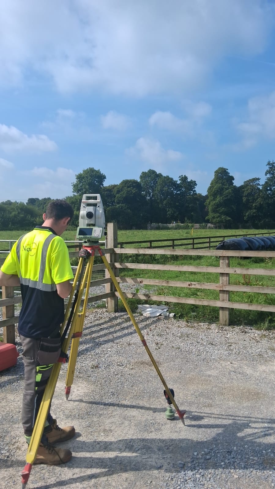
At NCW Surveys, our team utilised a Total Station to establish highly accurate control across the site. This instrument played a key role in setting out survey stations and tying all data into a consistent coordinate system. It allowed us to verify key structural elements and ensure that measurements taken throughout the building aligned precisely with external control. The Total Station also supported us in checking the accuracy of the scan data and enhancing the overall reliability of the survey results, especially in areas where GPS was not viable.
GPS / GNSS surveying equipment
To establish robust site control and capture external topographical data, we used our Trimble R12i GPS units. These high-spec GNSS systems enabled the NCW Surveys team to record accurate coordinates for manholes, drainage runs, and other surface features, all tied into the national grid. With tilt compensation and exceptional satellite tracking performance, the R12i allowed us to maintain efficiency even in areas with reduced sky visibility. This GPS data was essential in georeferencing the overall survey and mapping out external sewer infrastructure as part of the deliverables.
3D Laser Scanners / 3D Point Cloud
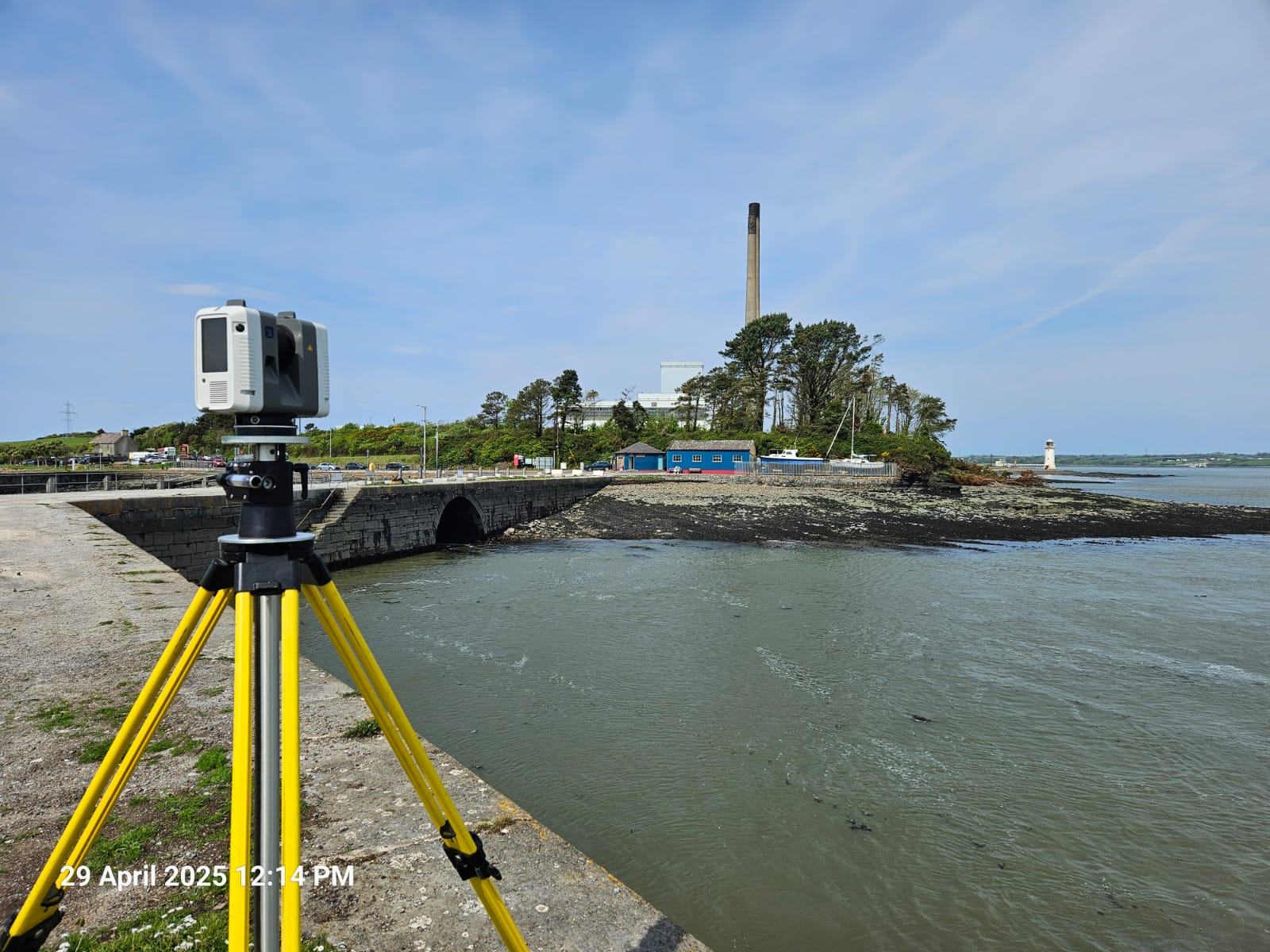
For the detailed building recording, NCW Surveys deployed the Leica RTC360 3D laser scanner, which allowed us to capture high-density point cloud data of both the interior and exterior. Its speed, accuracy, and onboard Visual Inertial System (VIS) meant we could scan efficiently while maintaining excellent registration quality. This scanner formed the backbone of our data collection process, enabling us to create detailed architectural drawings, floor layouts, and timber joist directions with confidence. The scan data also served as a reliable base for extracting structural information and informing design decisions for the Limerick Diocese project.
Why Choose Us
With over 25 years of experience, NCW Surveys offers reliable, accurate, and efficient surveying services. We use modern equipment and proven methods to deliver results our clients can trust. Our focus is on clear communication, practical solutions, and meeting project deadlines without compromising on quality. Whether the job is large or small, we take a practical, no-nonsense approach to every project. That’s why clients across Limerick and beyond continue to work with us.
Trusted by Leading Irish Organisations




If you have a project we can help you with, we would like to hear from you!
Projects
- Topographical Surveys
- Measured Building Surveys
- Setting Out
- Stopping Distances and Sightlines
- UAV Surveys
Where Do We Work
We work across Munster, Connacht, and parts of Leinster including Limerick, Cork, Clare, Galway, Kerry, Tipperary, and Waterford.
