Projects

Topographical Surveys Project
A survey was conducted on behalf of the Office of Public Works (OPW) as part of efforts to upgrade the existing flood defence system along the bank of a local river. The primary goal of the project is to improve protection in areas that have been repeatedly affected by flooding in the past. Several farmers in the region had experienced significant issues, with floodwaters encroaching not only on their agricultural land but also into their farmyards, causing damage and disruption.
Various surveying methods were employed to gather accurate data for the proposed works. Cross sections of the river were taken where it was safe to do so, helping to assess the river’s current capacity and flow characteristics. GPS units were used to level the surrounding fields and generate detailed contour maps to assist the developers in planning drainage and flood defences. In addition, total stations were utilised to capture precise floor levels of neighbouring houses and sheds, ensuring that all elevations were accurately recorded for flood risk assessment and design purposes.
Following the completion of the field survey, the collected data was brought back to the office for post-processing using CAD-based systems and specialised hydraulic modelling software such as GeoRiver. The raw data from GPS units, total stations, and river cross sections was carefully processed and cleaned to ensure accuracy. Using CAD software, detailed site maps, elevation models, and contour drawings were generated to visualise the topography of the area and the location of key features such as houses, sheds, and riverbanks.
Measured Building Surveys Project
This building survey was commissioned as part of ongoing works for the Limerick Diocese, with the purpose of assessing the condition of a historic property and producing a full set of accurate architectural and structural drawings. The primary objective was to support future interventions, particularly relating to the integration of building services. A key part of the survey involved identifying the direction of timber joist spans on each floor, which will help determine how services can be routed through the structure. Additionally, a detailed mapping of all external sewer systems was carried out to support drainage planning and inform any required upgrades.
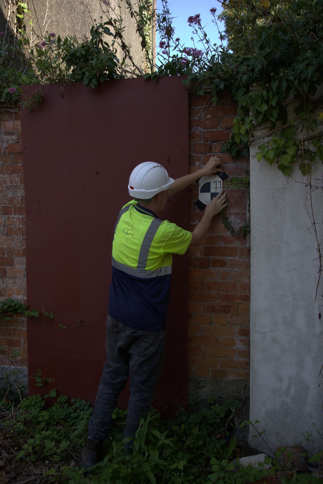
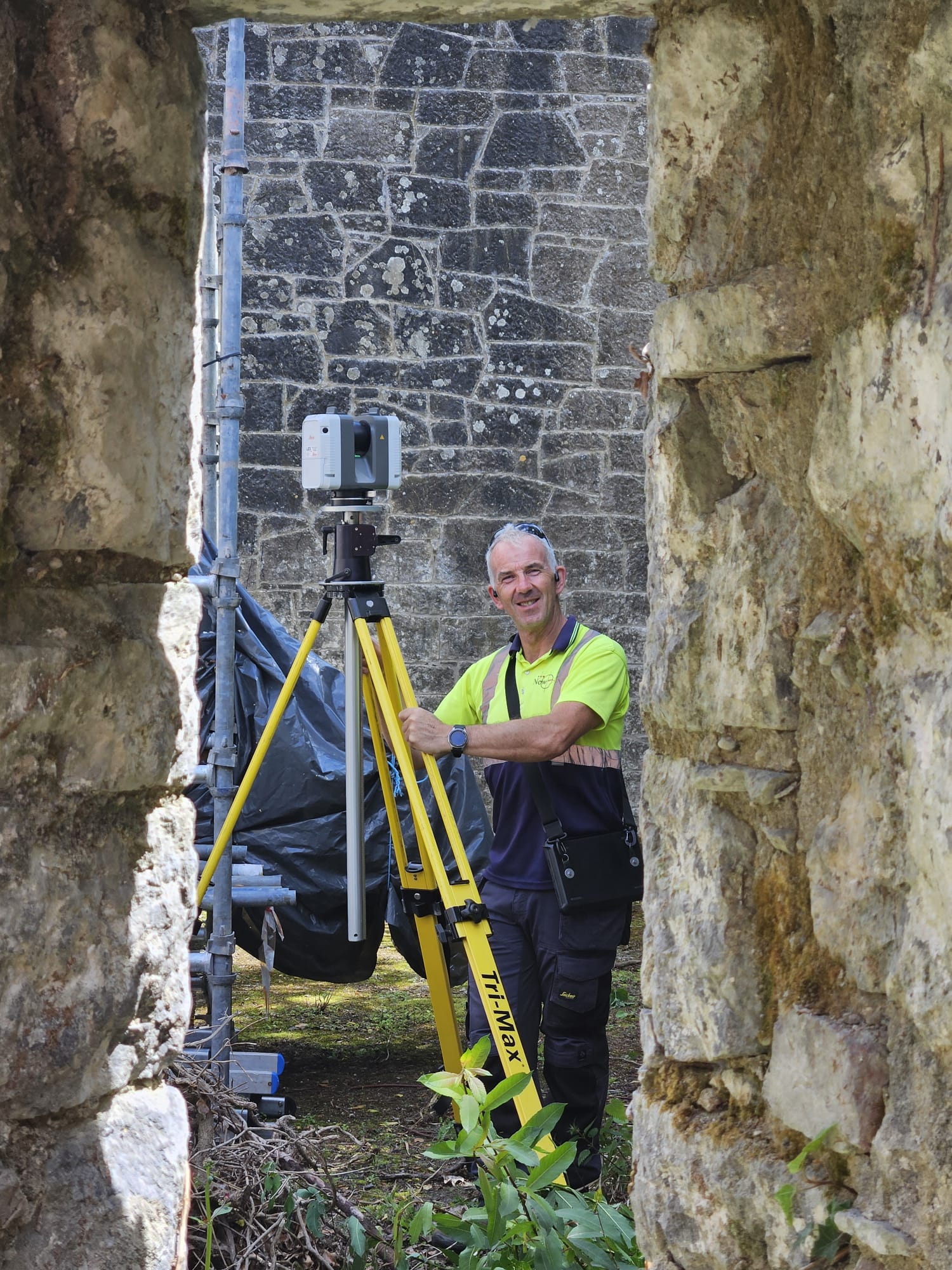
To capture the necessary data with precision, a suite of high-end survey instruments was employed. A Leica RTC360 3D laser scanner was used to collect detailed point cloud data of the building’s interior and exterior, enabling the creation of accurate 2D drawings and 3D models. A Total Station was used to ensure high-accuracy measurements and to coordinate all data within a consistent reference framework. Additionally, Trimble R12i GPS units were used to geolocate key features, establish survey control, and record the layout of external sewer systems and other site infrastructure. This combination of technologies ensured a comprehensive and reliable survey output suitable for design, planning, and engineering analysis.
Following the fieldwork, all scan data was processed in the office using Leica Register 360 to align and register the point clouds into a unified coordinate system. This ensured that the data captured on site was accurately stitched together and georeferenced for further use. Once registered, the point cloud was imported into BricsCAD using CloudWorx, allowing for efficient extraction of 2D plans, sections, and elevations directly from the 3D data. This workflow provided a high level of accuracy and detail, ensuring that the final drawings are suitable for design, coordination, and analysis by the project team.


Setting Out Project
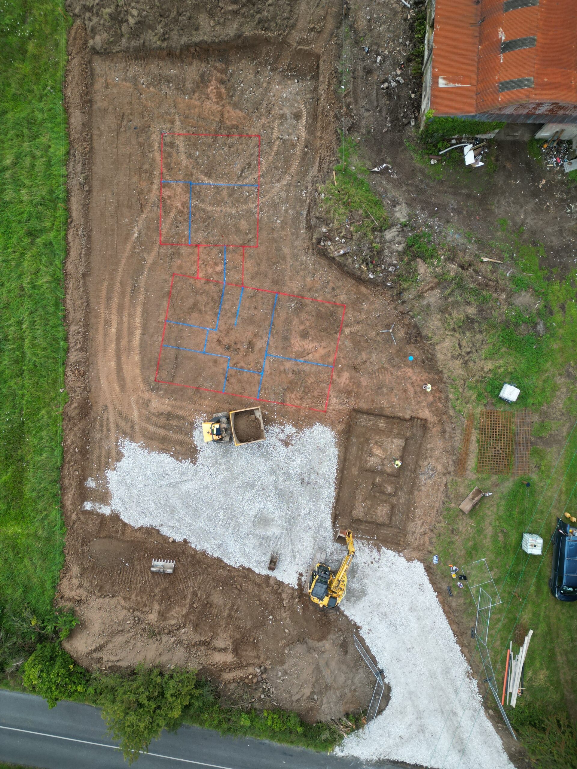
This project was commissioned in the West Limerick area to support the construction of a new residential cottage. The scope of work included setting out the centre line digs for the foundations, undertaking an As-Built survey of the completed foundations, and carrying out a follow-up site visit to set out the blockwork. These tasks were essential in ensuring that the cottage was built precisely in accordance with the design drawings and that all structural elements were correctly aligned from the outset.
A combination of survey equipment was used to deliver the required accuracy at each stage. A high-precision GPS unit was employed during the initial phase to set out the centre line digs efficiently and reliably across the site. For subsequent stages requiring tighter tolerances, such as the marking out of blockwork, a Total Station was used to achieve the higher level of precision necessary for structural alignment.
Following each site visit, the collected survey data was processed and verified in the office to ensure compliance with the project’s design requirements. The As-Built survey of the foundations provided the project team with a reliable record of the works completed, offering assurance before moving into the next construction phases. By combining GPS efficiency with the precision of Total Station technology, the survey provided a dependable service tailored to the requirements of a residential build.
Sightlines & Stopping Distances Project
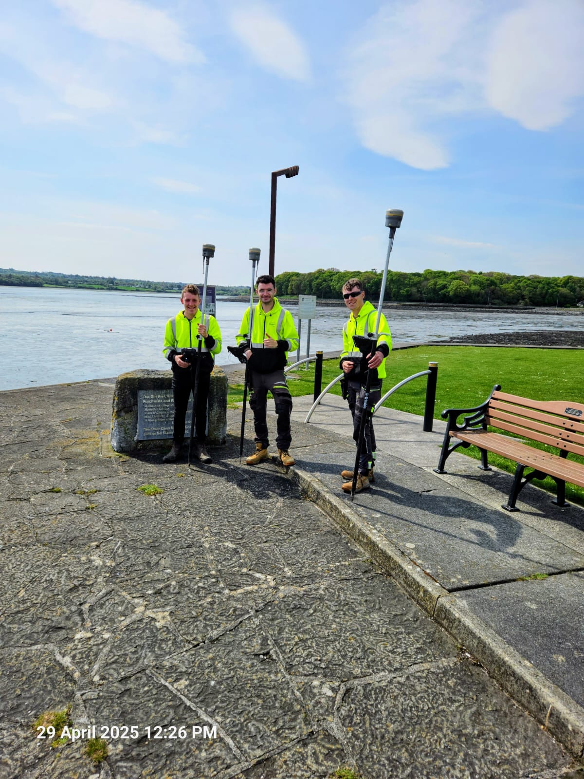
To achieve the necessary precision, a combination of high-quality survey instruments was employed. A Trimble GPS unit was used to establish survey control and capture key site features efficiently across the wider area. For more detailed measurements, particularly those relating to sightlines and road alignments, a Leica Total Station was utilised to provide the higher level of accuracy required for the assessment.
Following the fieldwork, the data was processed and reviewed in the office to confirm the available sight distances in both directions along the roadway. This information was presented in a clear and reliable format to demonstrate compliance with planning standards, providing confidence to both the client and the local authority that safe access arrangements could be achieved for the proposed development. As part of recent planning procedures, Limerick County Council now requires these surveys to be submitted in response to RFIs (Requests for Further Information), making this work a key component in securing planning approval.

