Topograhical Surveys
Topograhical Surveys
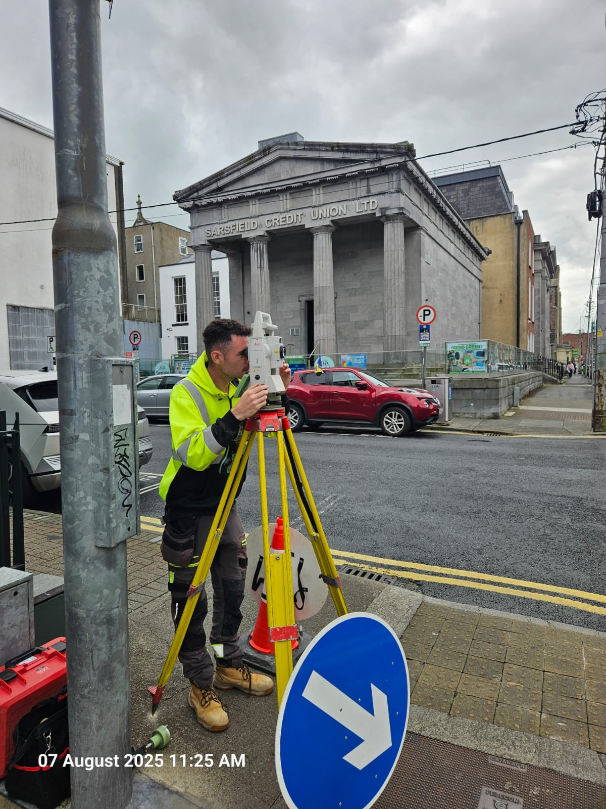
At NCW Surveys, we provide precise and reliable topographical surveying services to support your planning and development needs. Our team captures detailed data on both natural and built features, such as hills, vegetation, buildings, and infrastructure – along with accurate elevation measurements.
Using advanced surveying technology, we produce high-quality topographic maps that display contour lines, spot levels, and all relevant site features. These maps are essential tools for architects, engineers, planners, and developers looking to understand the terrain and make informed design decisions.
Accurate mapping is essential for defining property boundaries and resolving legal or ownership matters. At NCW Surveys, we provide precise legal mapping services to support land registration, boundary verification, and property transactions. Our detailed maps are prepared to the required standards, giving you the clarity and assurance needed for legal and planning purposes.
Whether you’re preparing for construction, land development, or infrastructure design, NCW Surveys delivers the clarity and accuracy your project demands.

Our Services
Topographical Testimonial

Ciarán Gallagher
I have engaged the services of Eamon McAuliffe and NCW Surveys for over 20 years on a wide range of civil engineering and development projects. They consistently deliver topographical surveying services to an exceptional standard, backed by a professional team known for their reliability, technical precision, and a keen understanding of the practical requirements of engineering and construction. Whether the project is an urban site or more remote and challenging terrains, their surveys have always been reliable, thorough, and delivered on time.
Their professionalism, technical expertise, and long-standing commitment to quality make them a service we trust. I have no hesitation in recommending NCW Surveys to anyone seeking dependable, high-quality topographical surveying.
